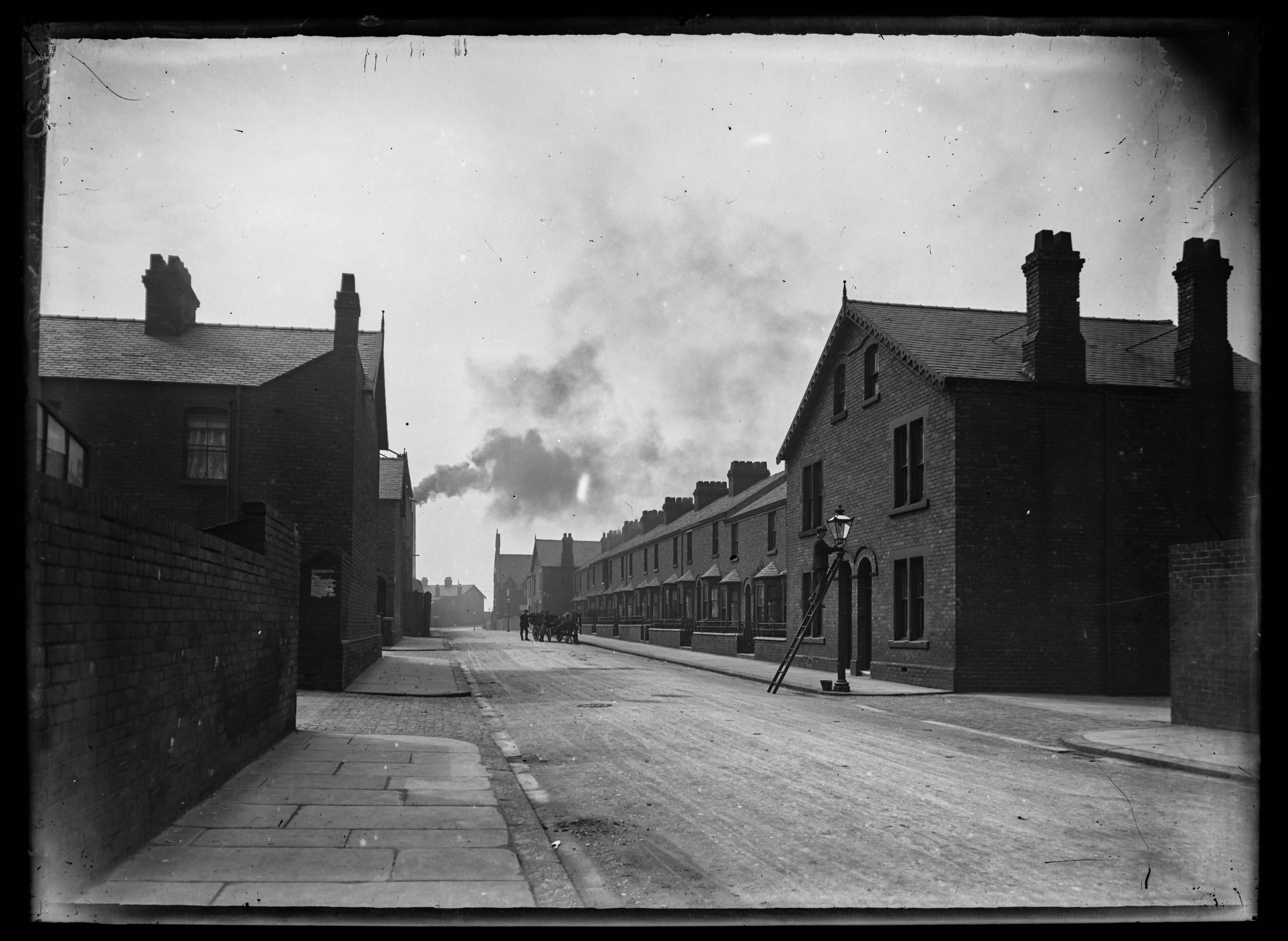
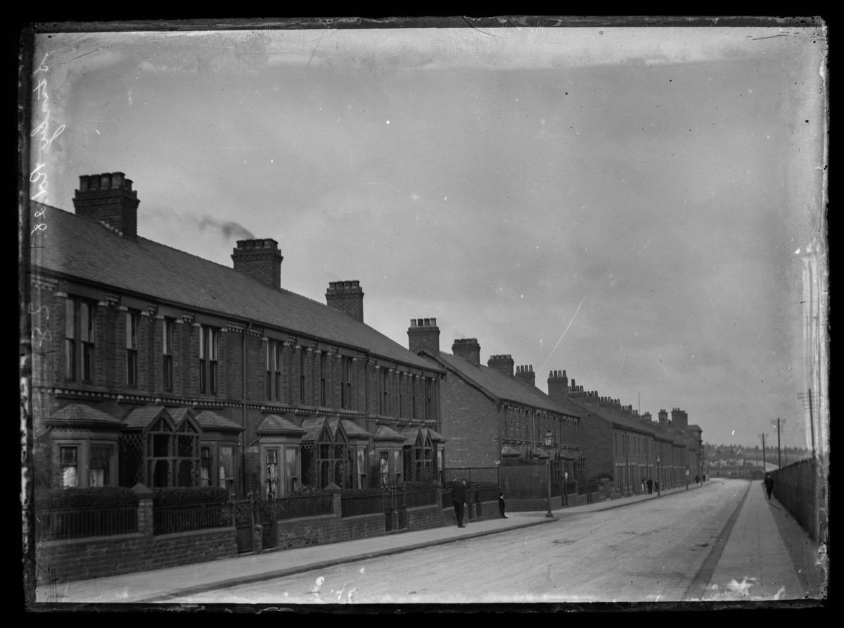
These previously unpublished photographs of St Patrick’s Road, and Stanley Road, Barrow Island, show views of the area which young Barrovians may find surprising.
Taken around 1910, the images show both streets full of houses. It was understood that streets like St Patrick’s Road and Stanley Road, close to the shipyard, were likely to be hit by bombs targeting the works and the docks.
This fearful expectation became a reality on the night of 3rd-4th May 1941, when High Explosive devices exploded in the shipyard and local streets; blasting away parts of St Patrick’s Road and Stanley Road in the process.
Further north down Stanley Road a device landed (type unknown) which did not explode. Thankfully no one was killed by the bombs which hit the area, but as a result No 21 St Patrick’s Road and Nos 15-21 Stanley Road had to be demolished. There are no official records available of those who might have been injured from these bombs.
Additional Information:
On image 3420 (St Patricks Road) you can see the front of the ‘old tin’ church standing out in the distance in near the Ferry Road end of the street. Consecrated in 1885, the old church was demolished around 1933 when the new St Patrick’s – on Michaelson Road – was dedicated.
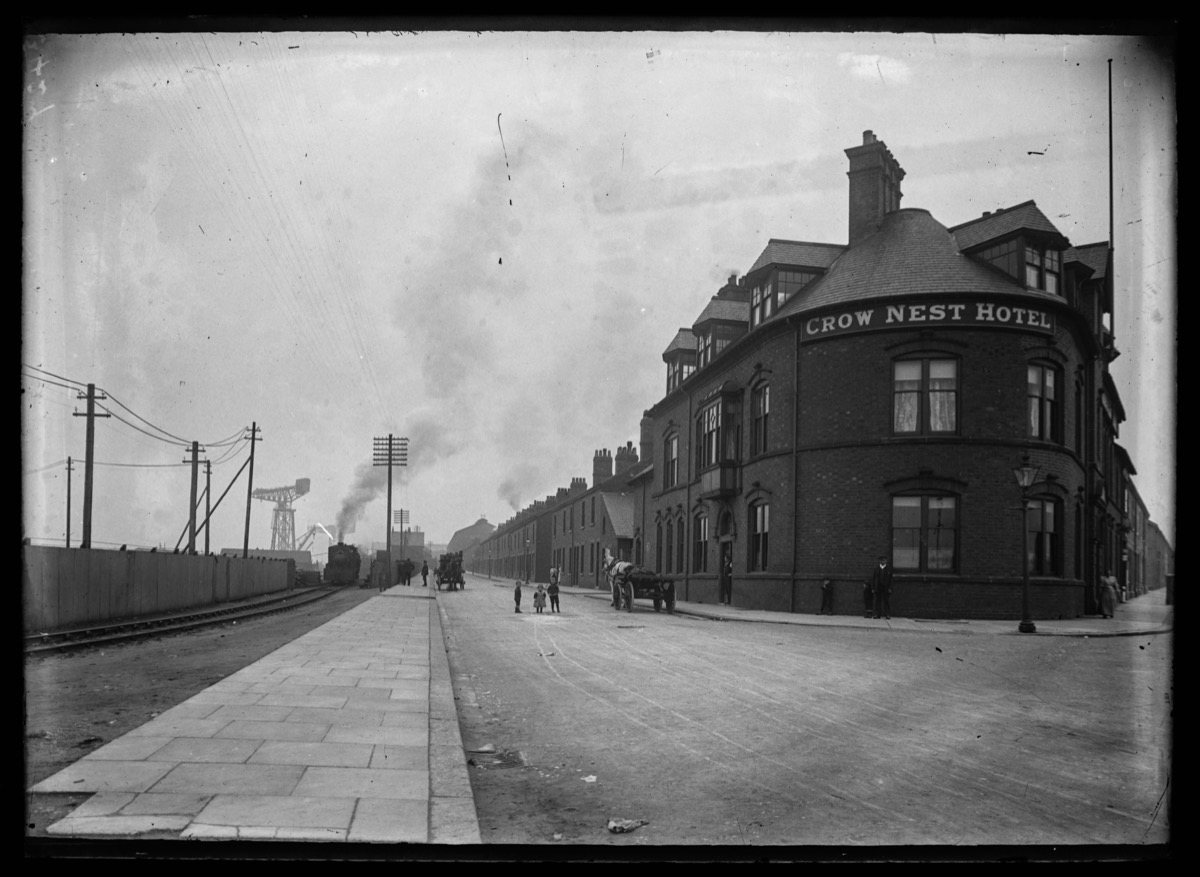
The Crow’s Nest – as it is known – shown in image 3427, opened in 1887, and is still in business.